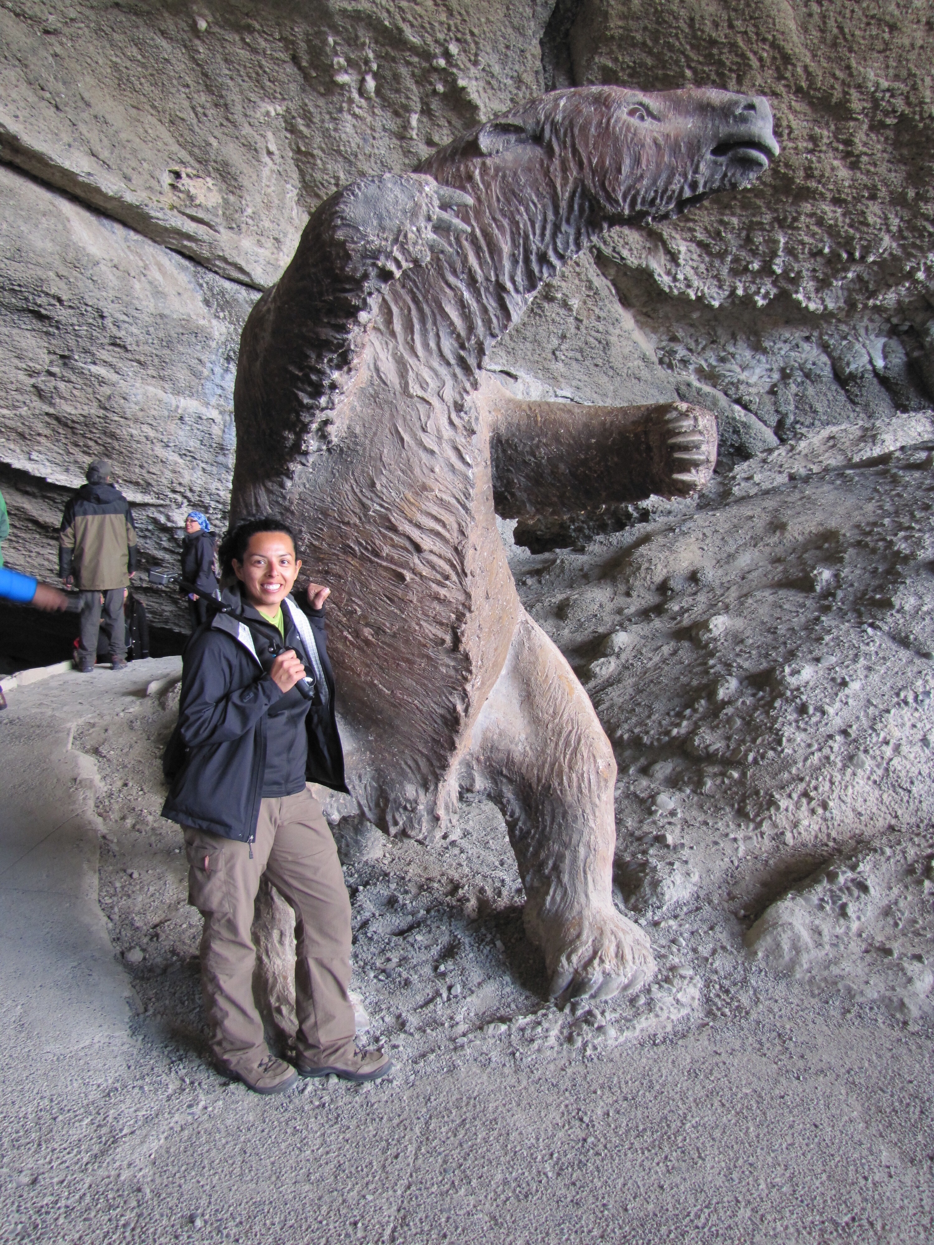
On our last few days in San Pedro de Atacama, we booked a couple more tours of the surrounding area. One of the tours we ended up doing was el Valle de la Luna tour, which means valley of the moon. The reason it’s called that? You guessed it, it looks similar to the surface of the moon! It was just a couple kilometers away from town.
The rough terrain, sand dunes and multiple colors of the rock give the impression that you are actually on the moon. The only reason you know you are not on the moon is due to the hoards of people and tour buses all around you. Nonetheless it had some of the most interesting landscapes we had ever seen.
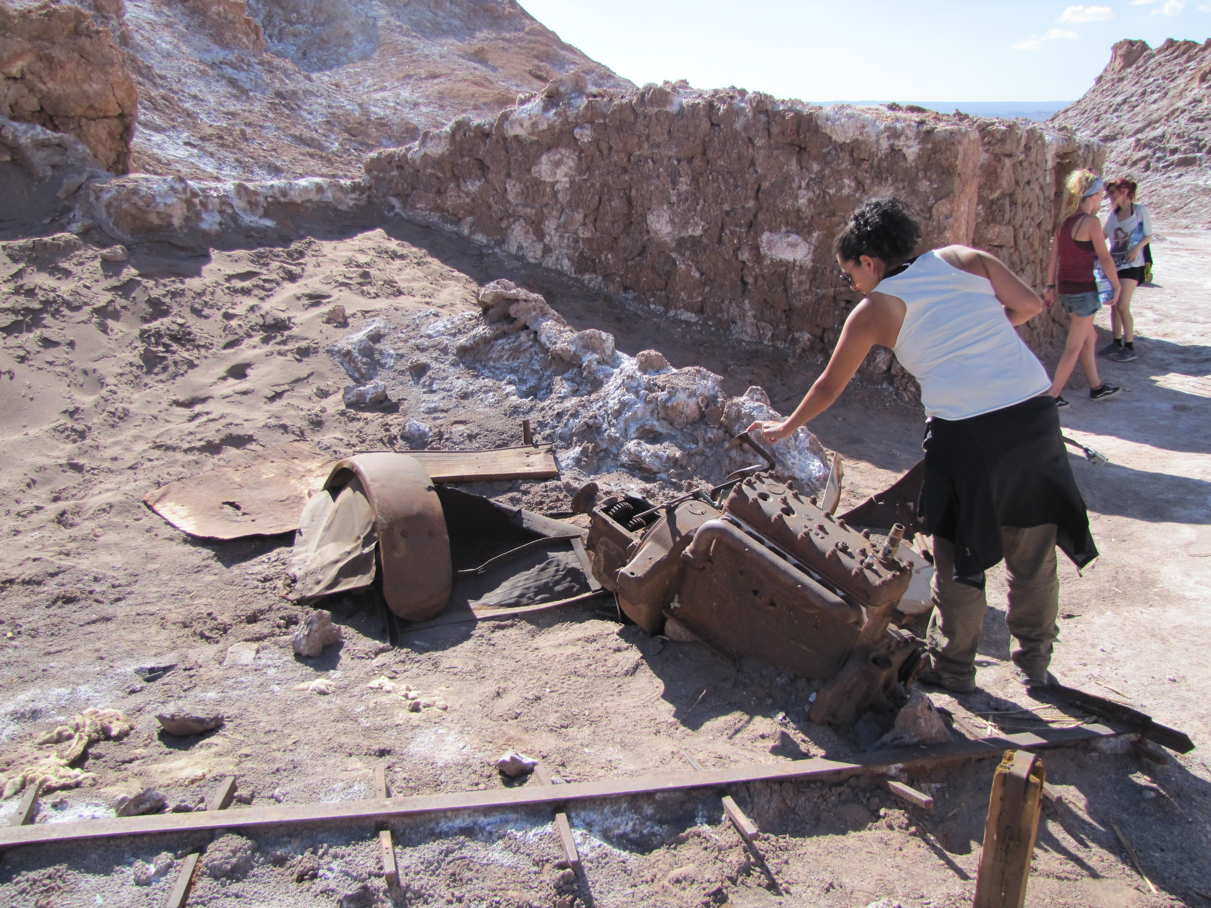
Old salt mine equipment from back in the day

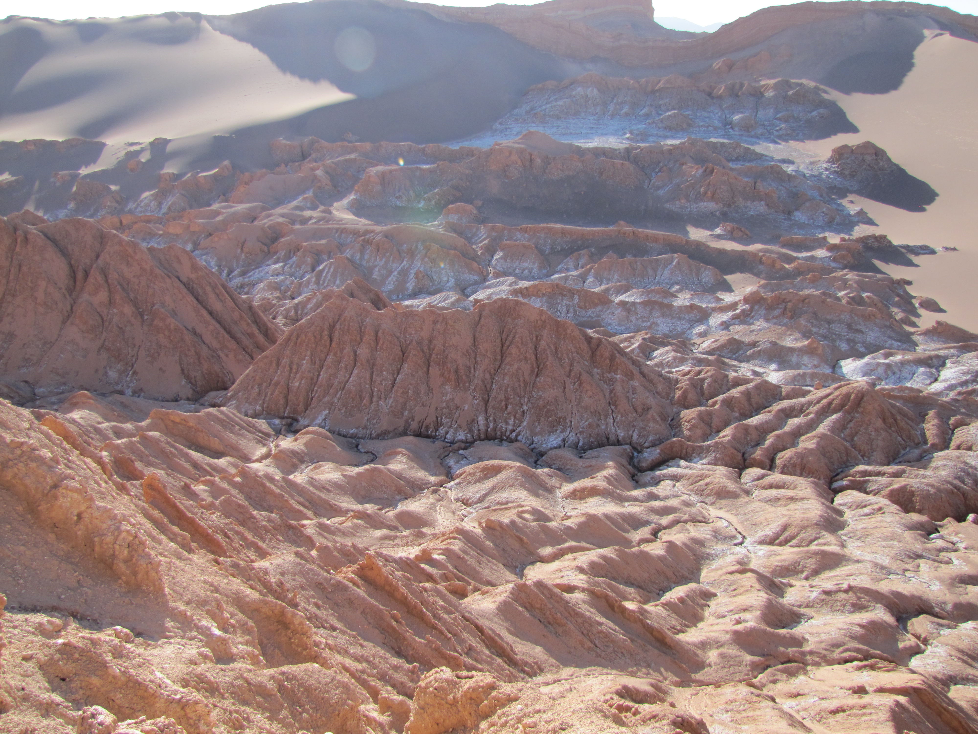
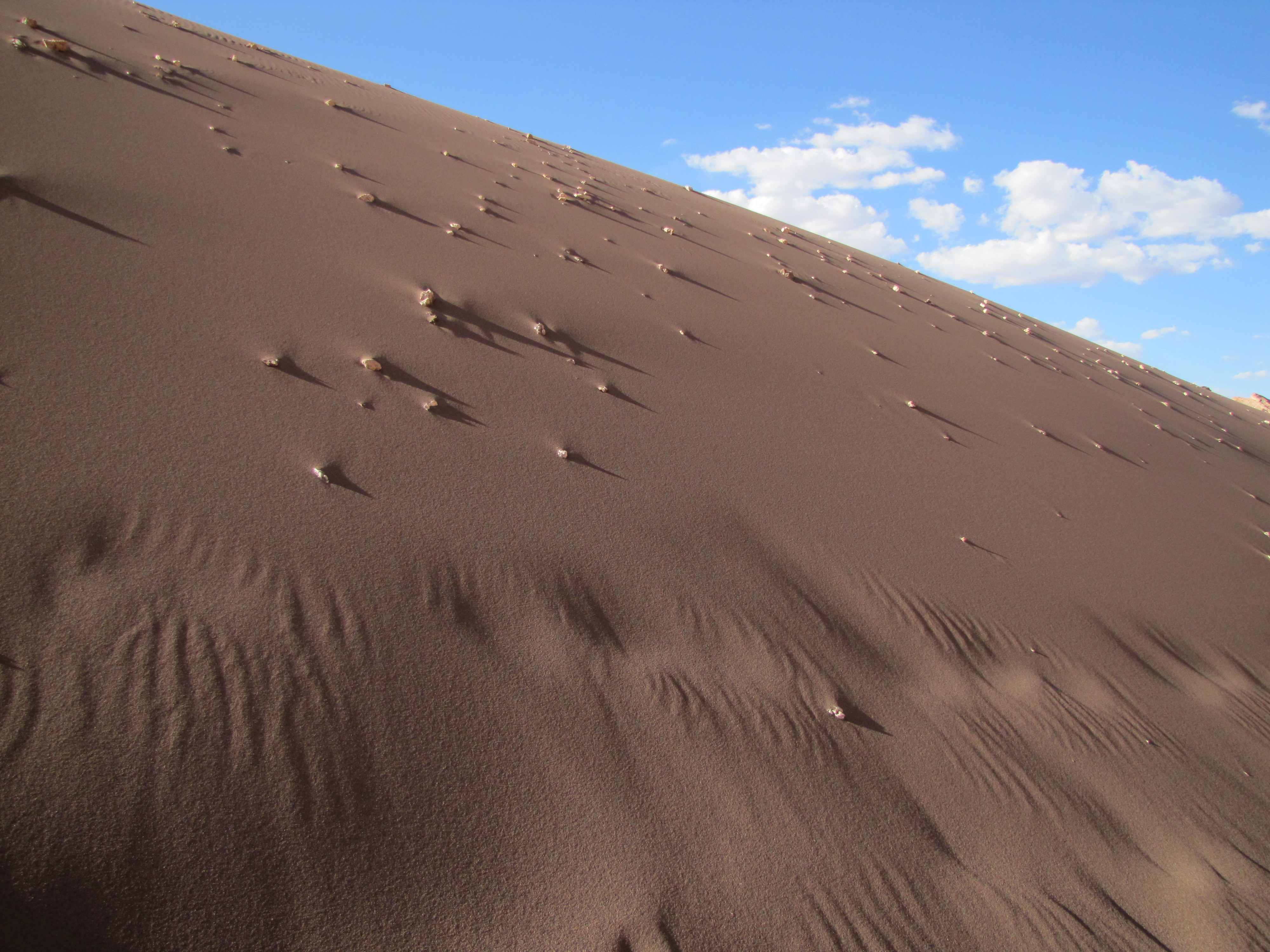
Close up of sand/salt/calcium deposits forming the Valle de la Luna
Crazy, cool, funky landscapes
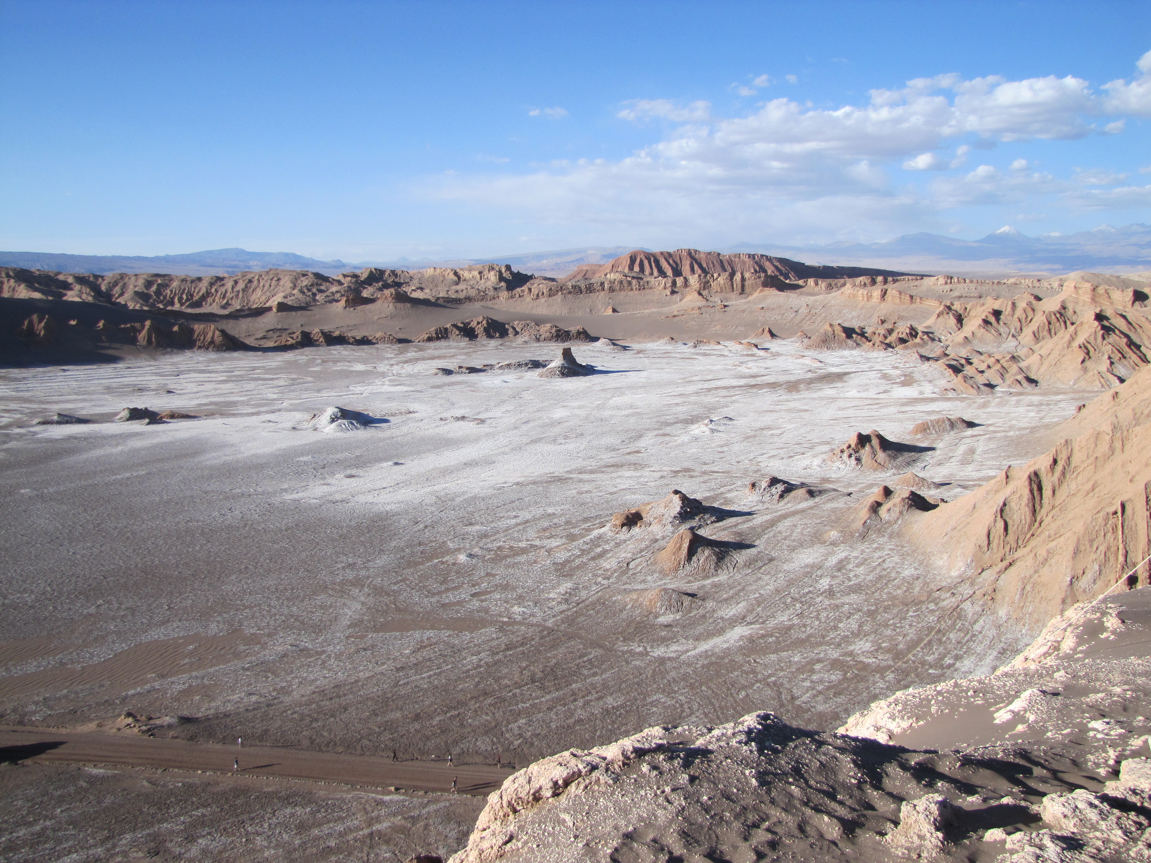
Beautiful moon valley landscape!
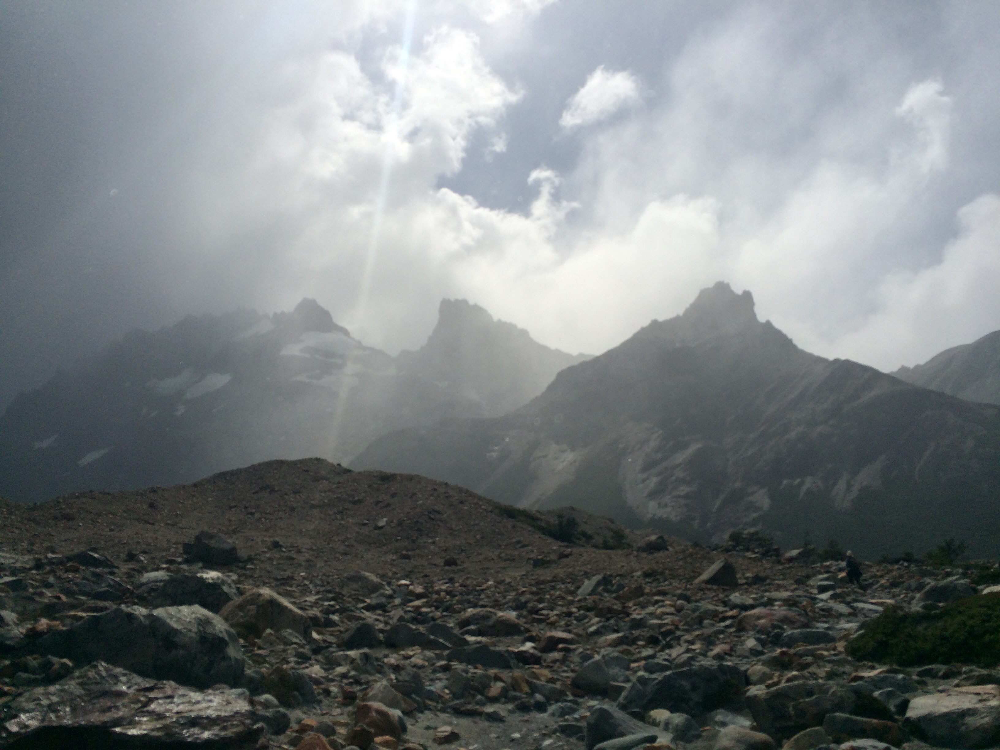
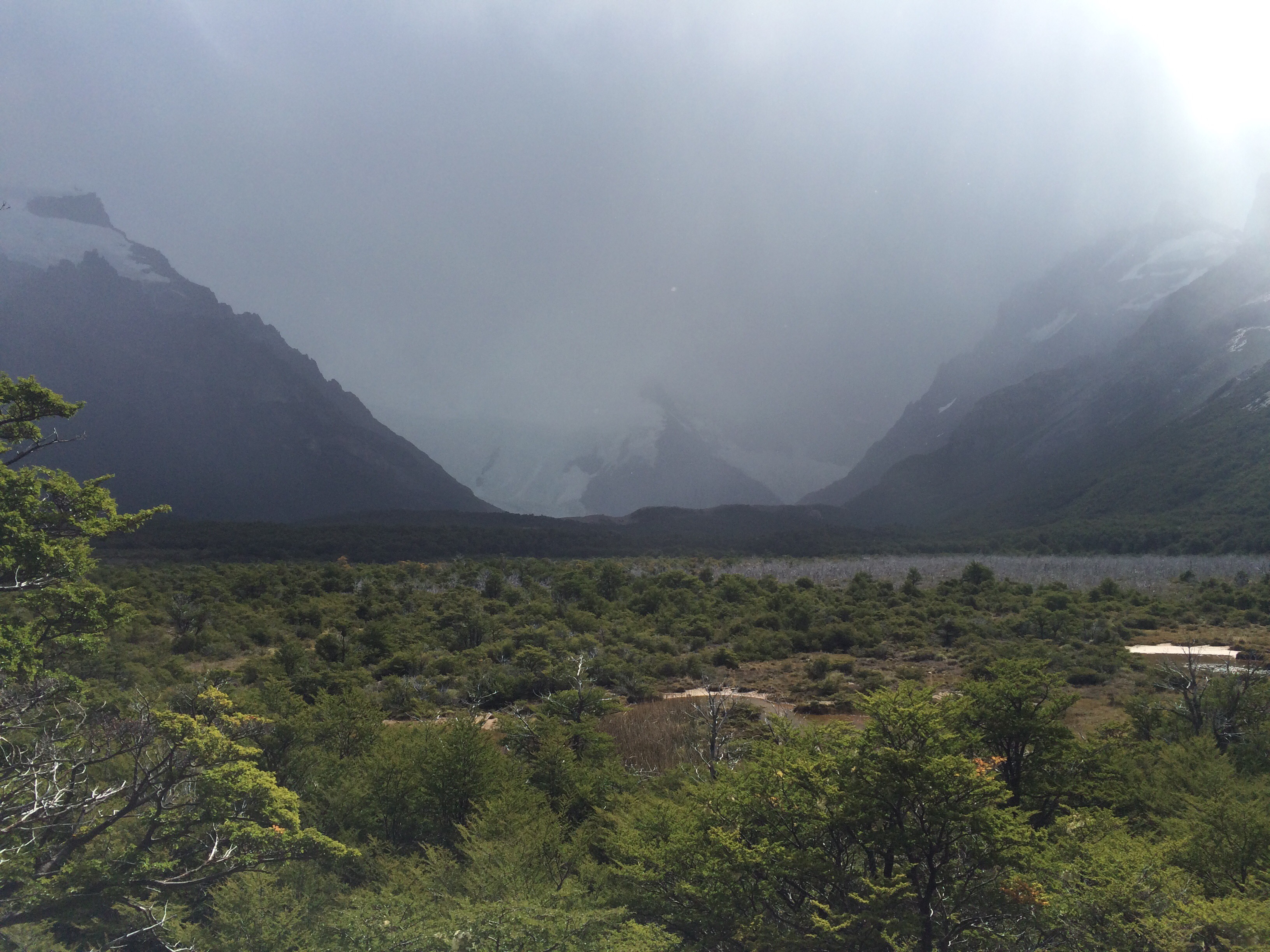
It’s incredible how the earth almost designs itself over time. What we see now are as a result of earthquakes, volcanoes, shifting plates and even just wind! Check out these formations!

This formation, the Tres Marias, was carved out over time by strong winds

Amphitheater Rock in Valle de la Luna
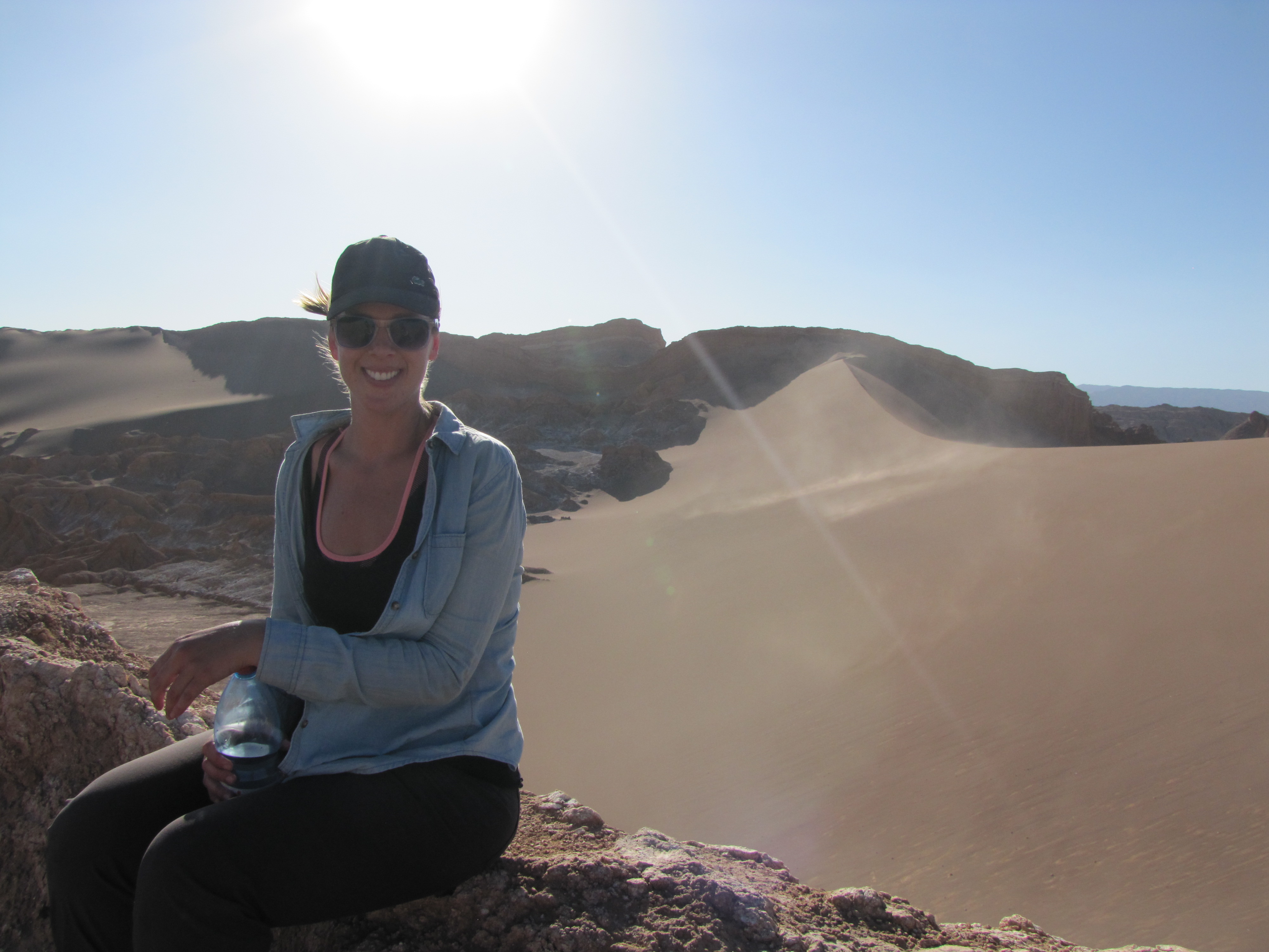
Posing in front of the largest sand dune in the Valle de la Luna
Martian-like terrain
We stopped at the famous Coyote Rock to watch the sunset and get some great pics. It was both breathtaking and scary sitting on the tip of the rock overlooking the deep gorge below. It was the perfect finish to the day!
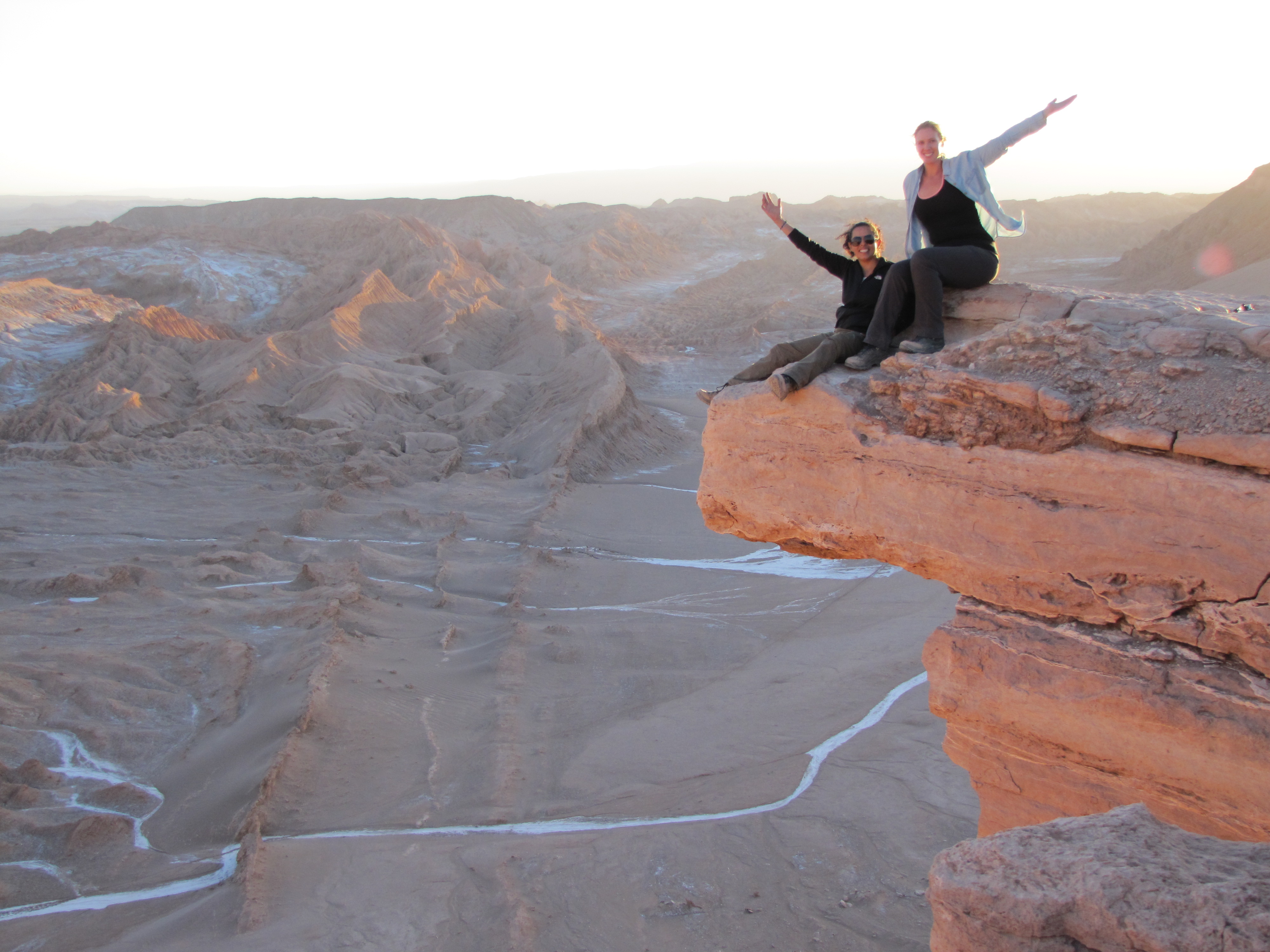
Here we are, teetering on the tip Coyote Rock. Yes, that’s a giant fracture line in the rock.
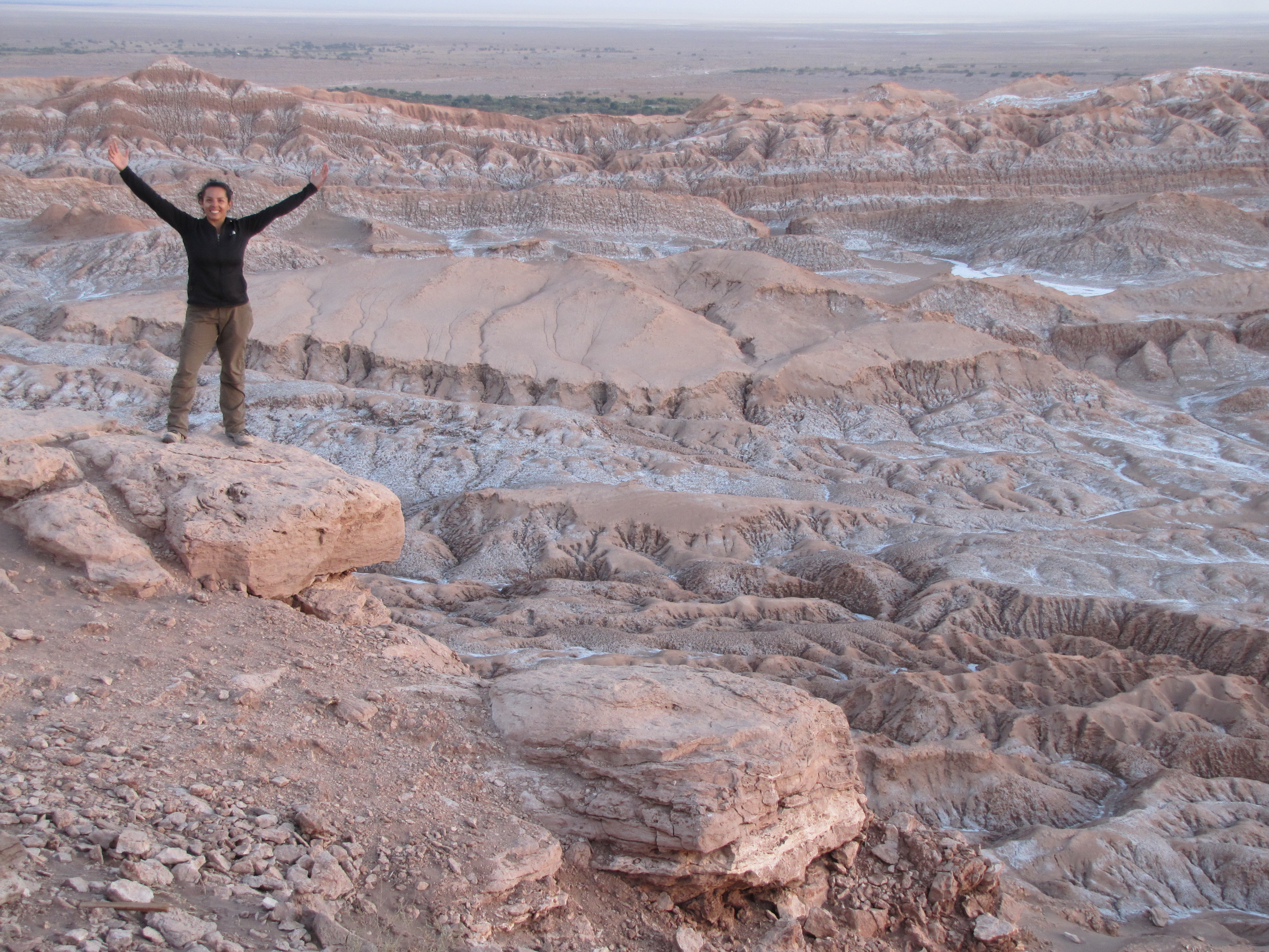
Valley under Coyote Rock
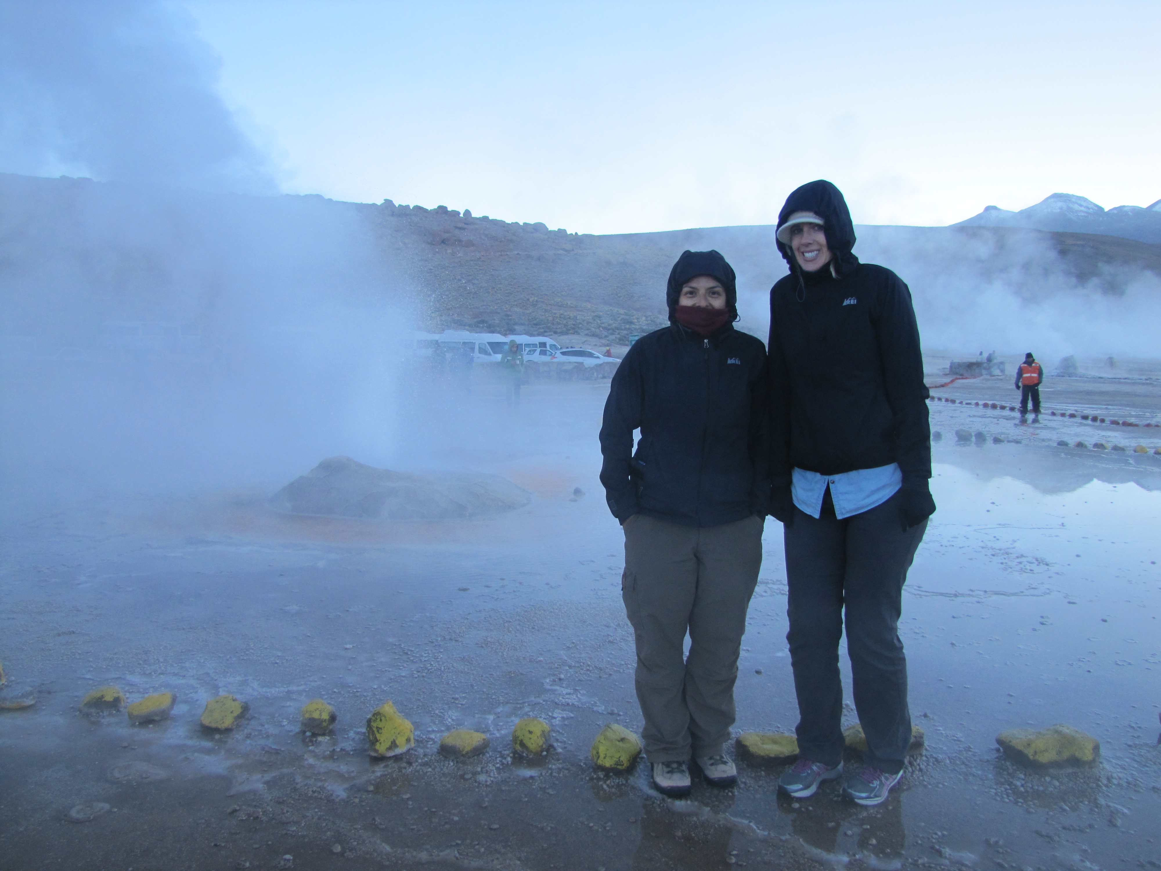
The next day we had an early morning tour booked. We were told to be outside of our hostel and dressed warmly by 4:30 am. The company didn’t put enough emphasis on “dress warmly” (I’ll get back to that). Our van picked us up and there were a few people inside, half asleep. We eventually picked up a few more people and started the ascent to the Geysers del Tatio.
This geyser field is located at a staggering 4320 meters above sea level, amongst the highest in the world. It also has over 80 active geysers, some just tiny little boiling spurts of water coming from the ground and others up to 18 ft tall. These boiling temperatures can reach up to 185 degrees F – water boils at much lower temperatures at these high altitudes! There were rocks strategically placed around the geysers forming a path that we needed to follow. Around some of the larger geysers, a rock wall had been built for protection of the tourists. Sadly, within the last 6 months, a tourist accidentally fell into one of the larger ones (before the rock wall went up) and didn’t survive.
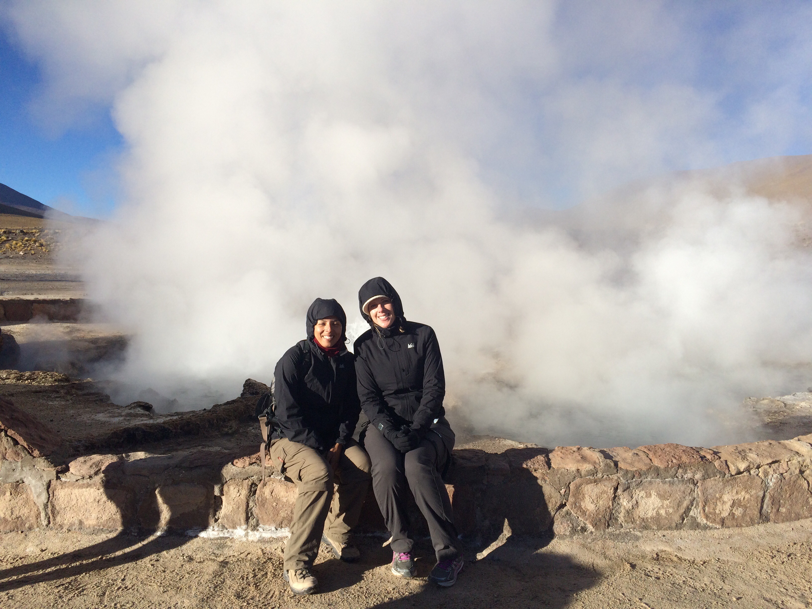
TwoGirlsFrozen
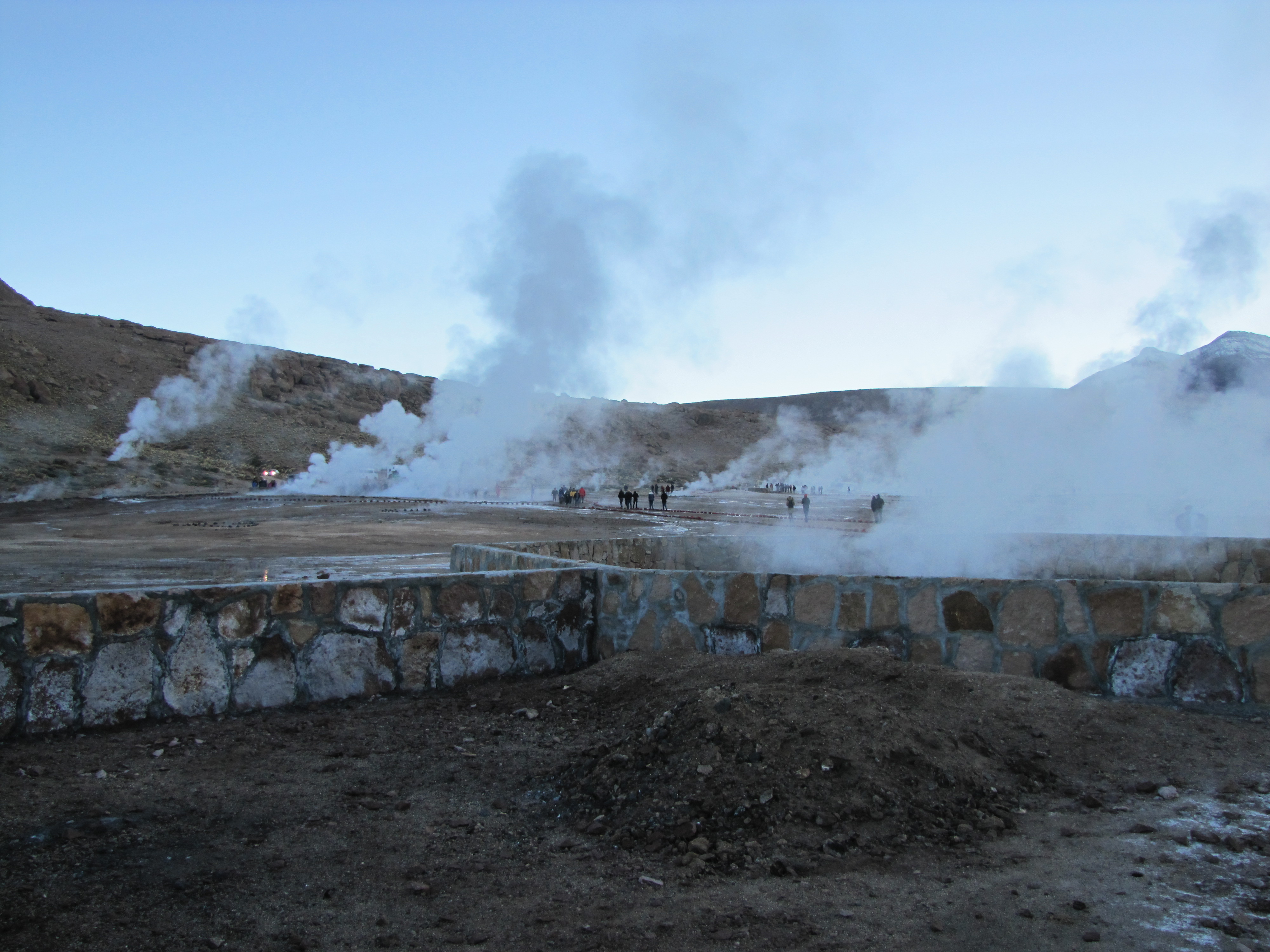
Geysers everywhere

Water spewing from one of the geysers
We made sure we were really careful walking around the geysers, especially since it was just below freezing and we could not feel our extremities! We were ill prepared in our clothing choice but we had to ignore the cold and enjoy the experience. We were only freezing until the sun came up and when it did, we almost instantly felt better.
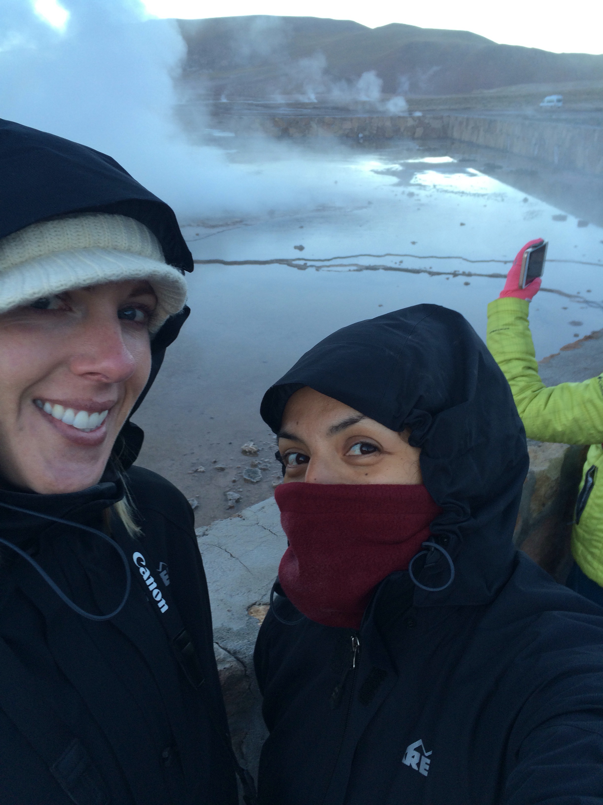
It was so cold, our lips turned blue
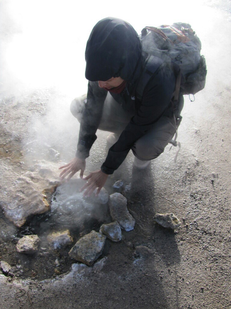
Jen warming up her hands over a boiling geyser

Hillside geysers
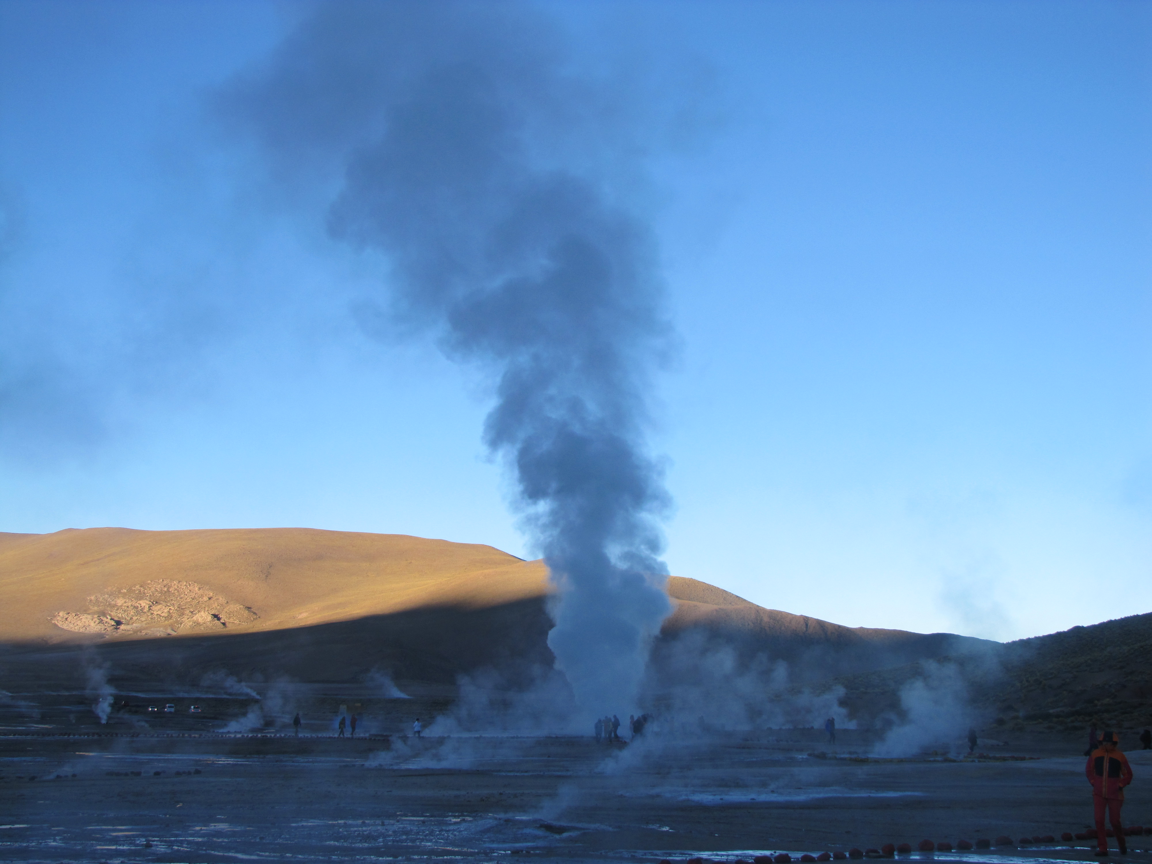
Giant sized steam towers
Posing in front of the “Gringo Eater” geyser – gringos are known to jump in!
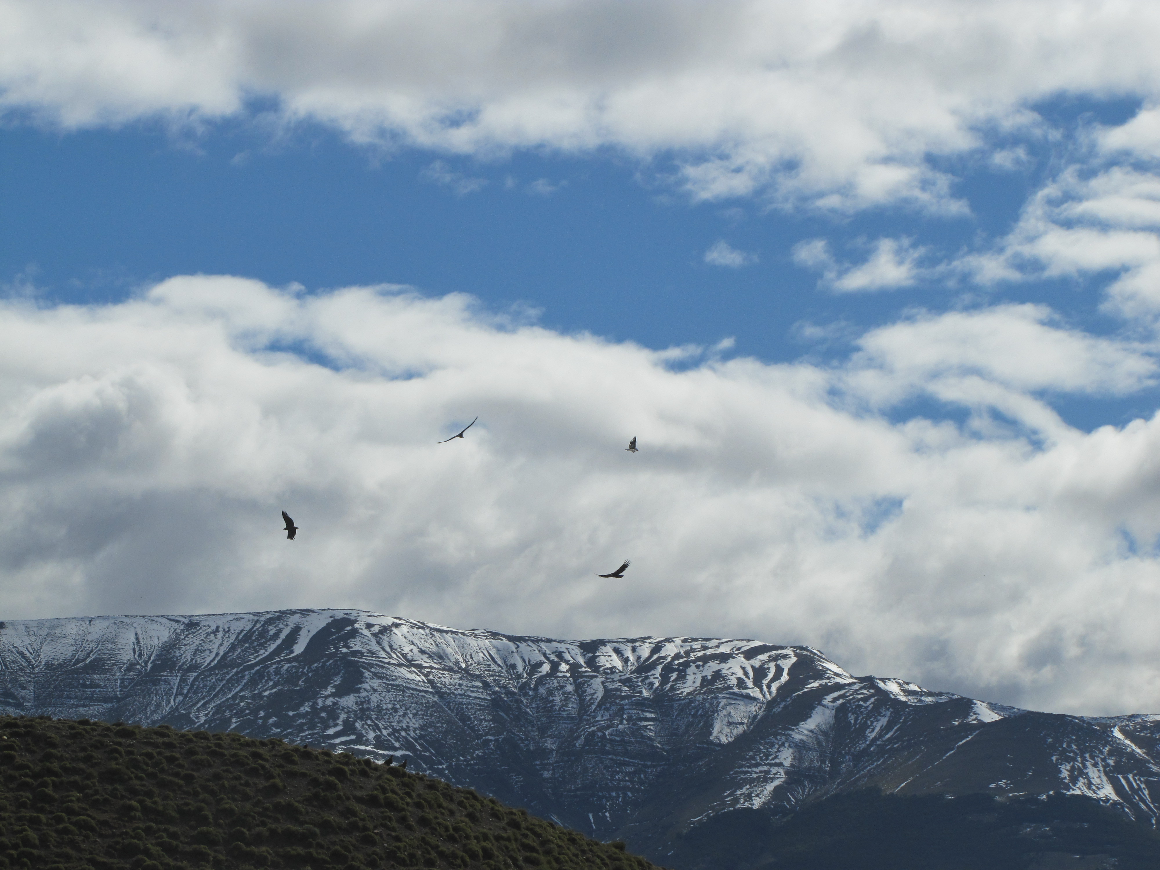
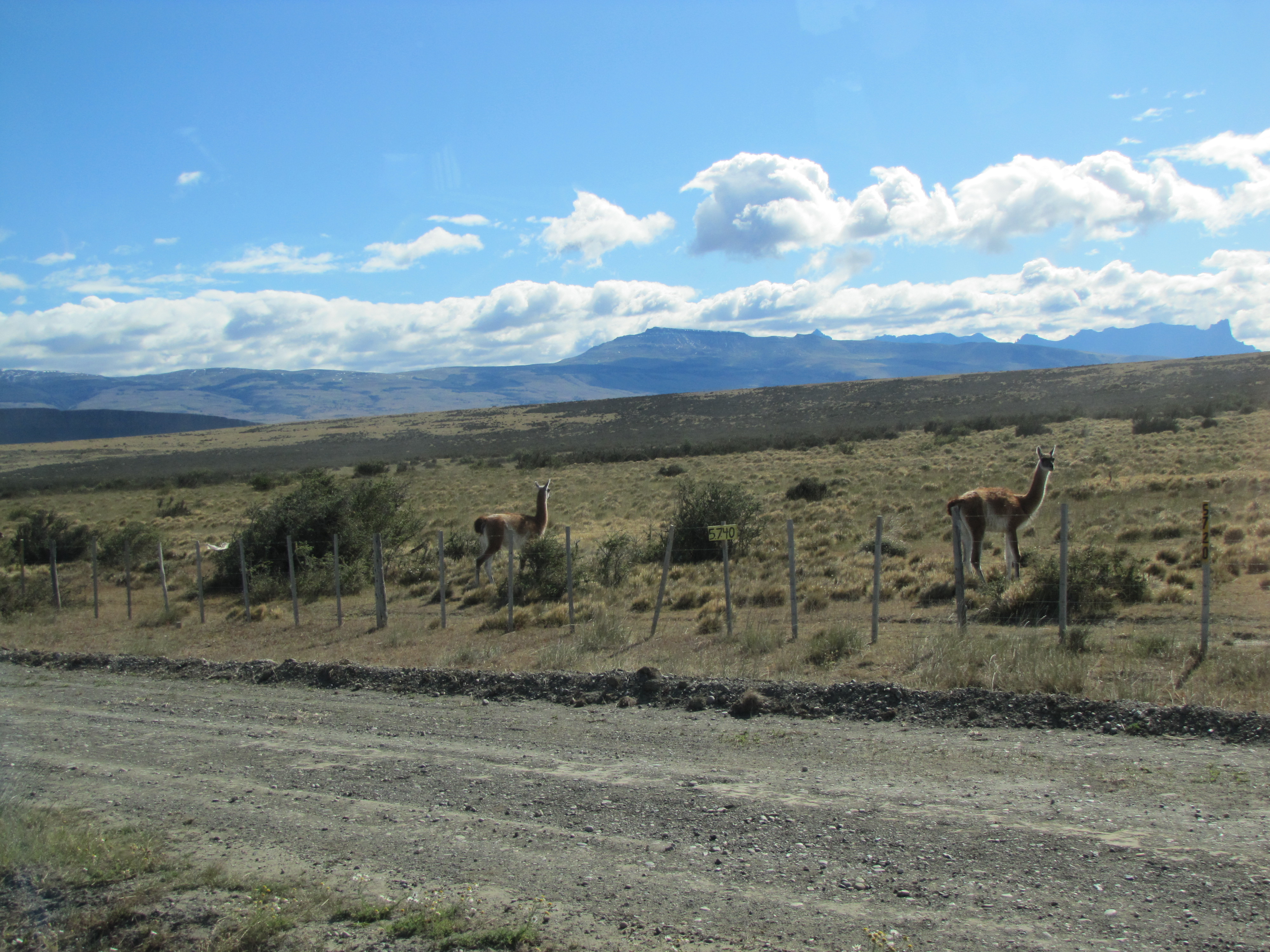
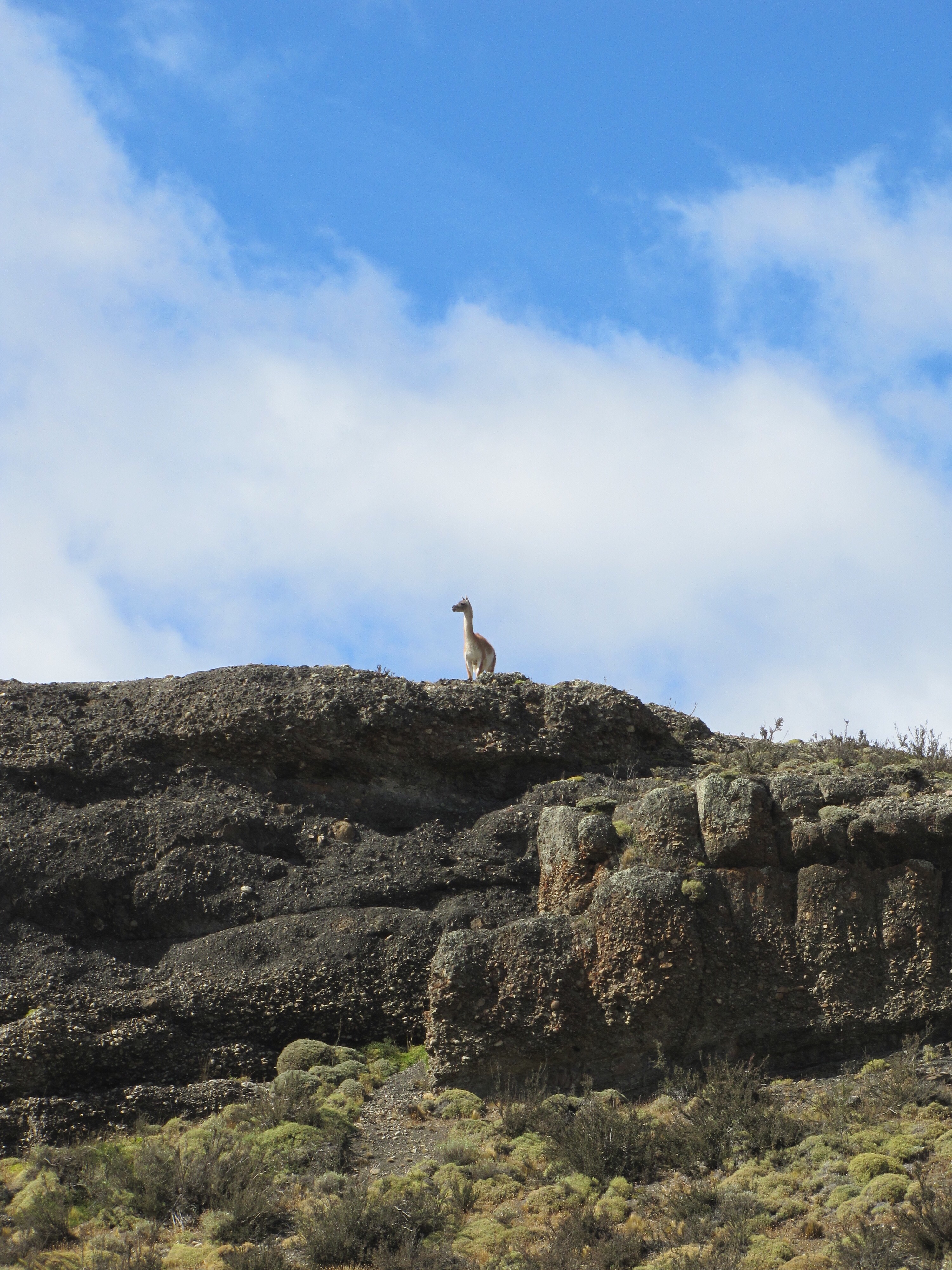
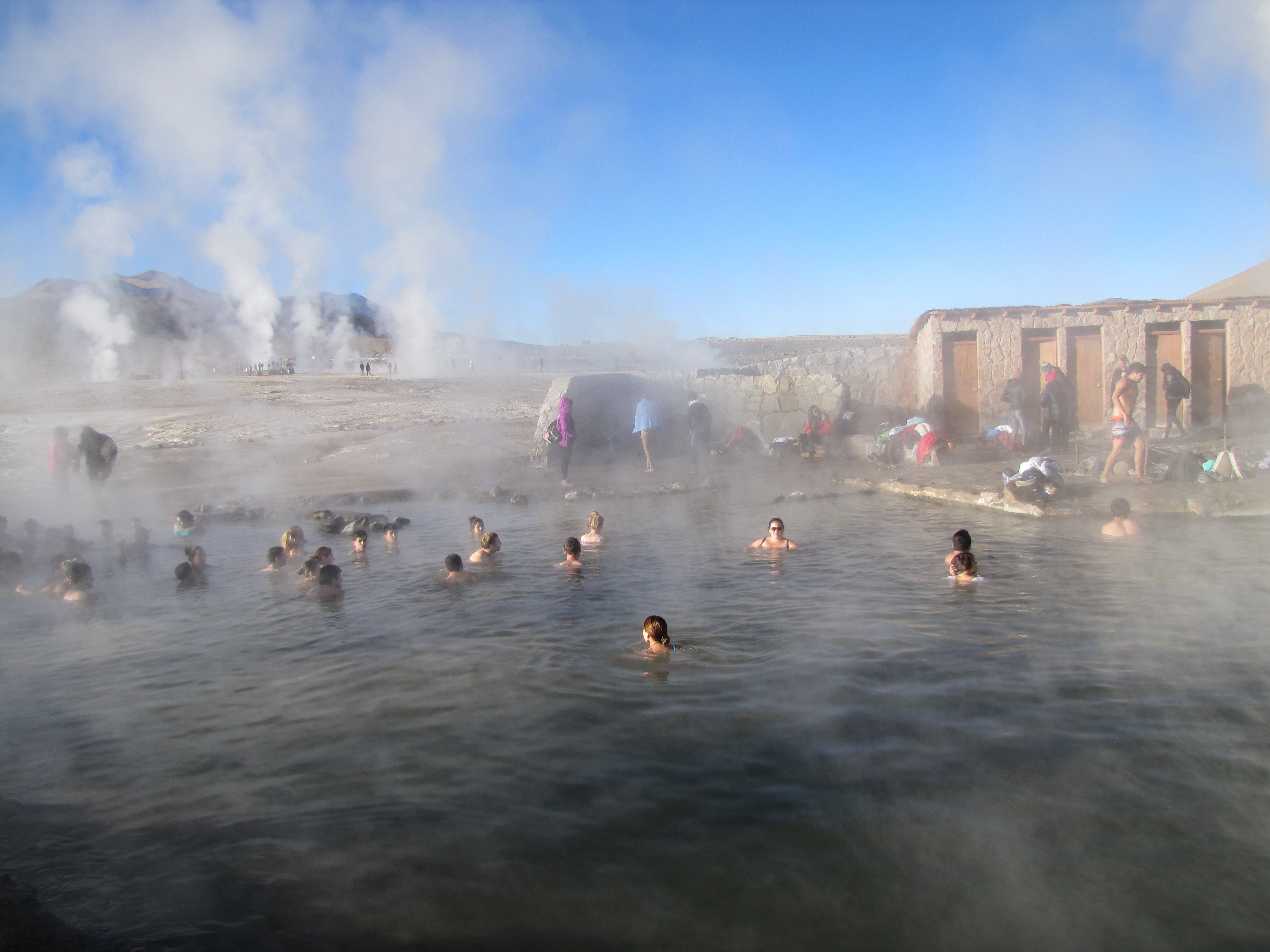
Check out the rest of our pics and vids and see the variety of wildlife at these altitudes. There were also some hot springs, which by the way we did not go in… We just couldn’t brave the cold!!
People braving the -5 degree celsius weather
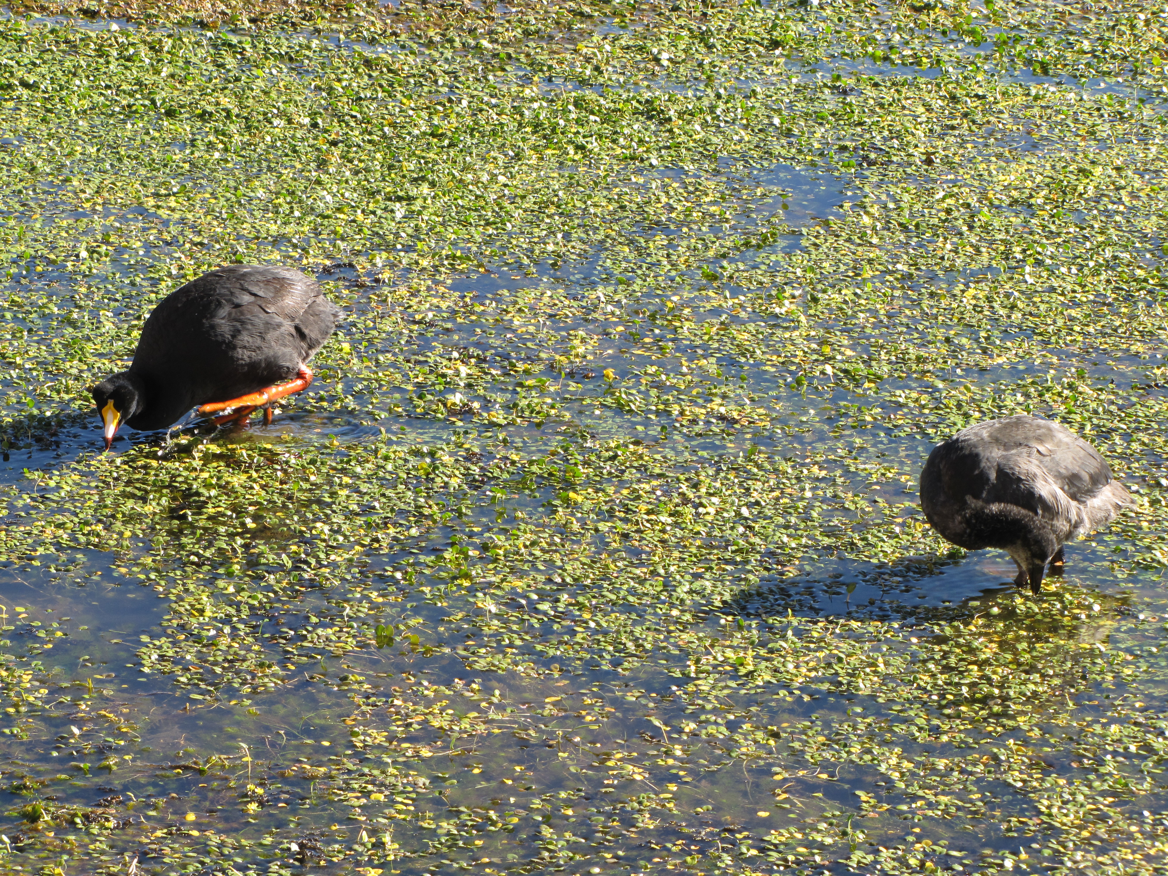
Giant coots
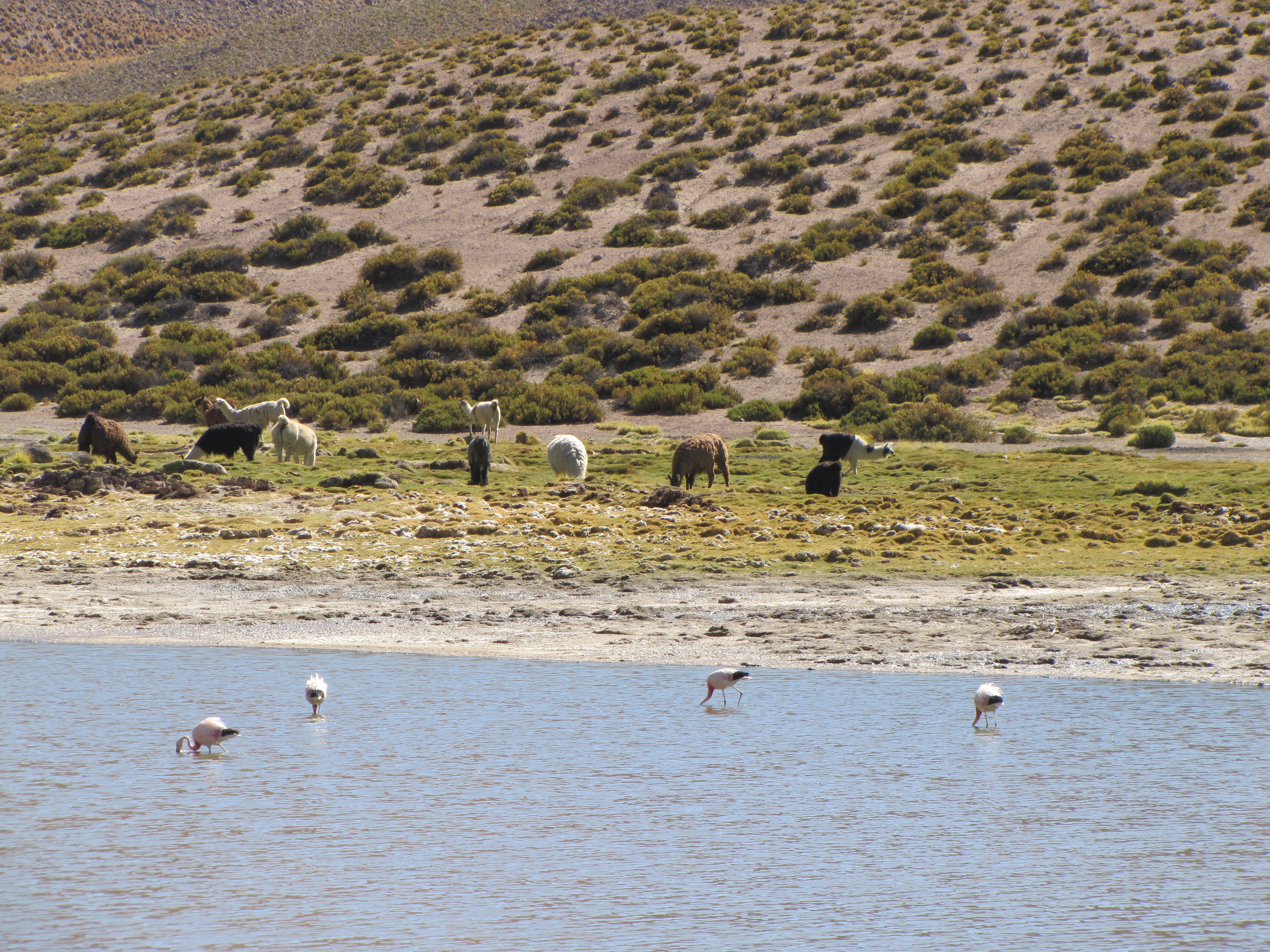
Flamingos AND llamas?!
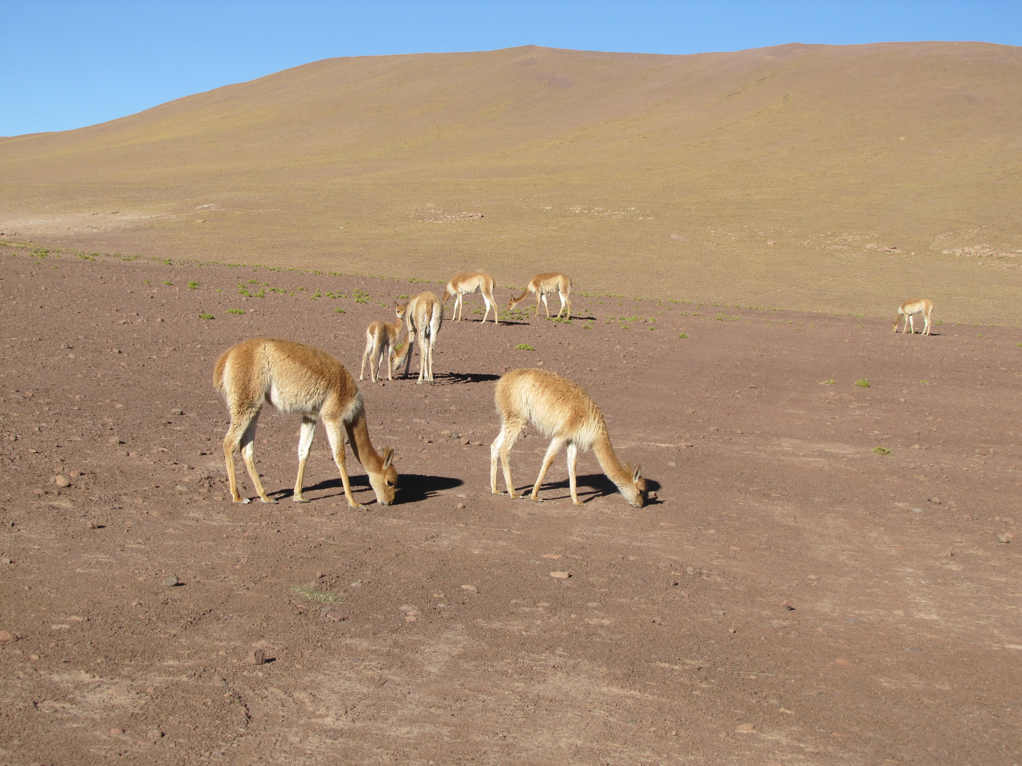
Vicuñas that we saw along the way
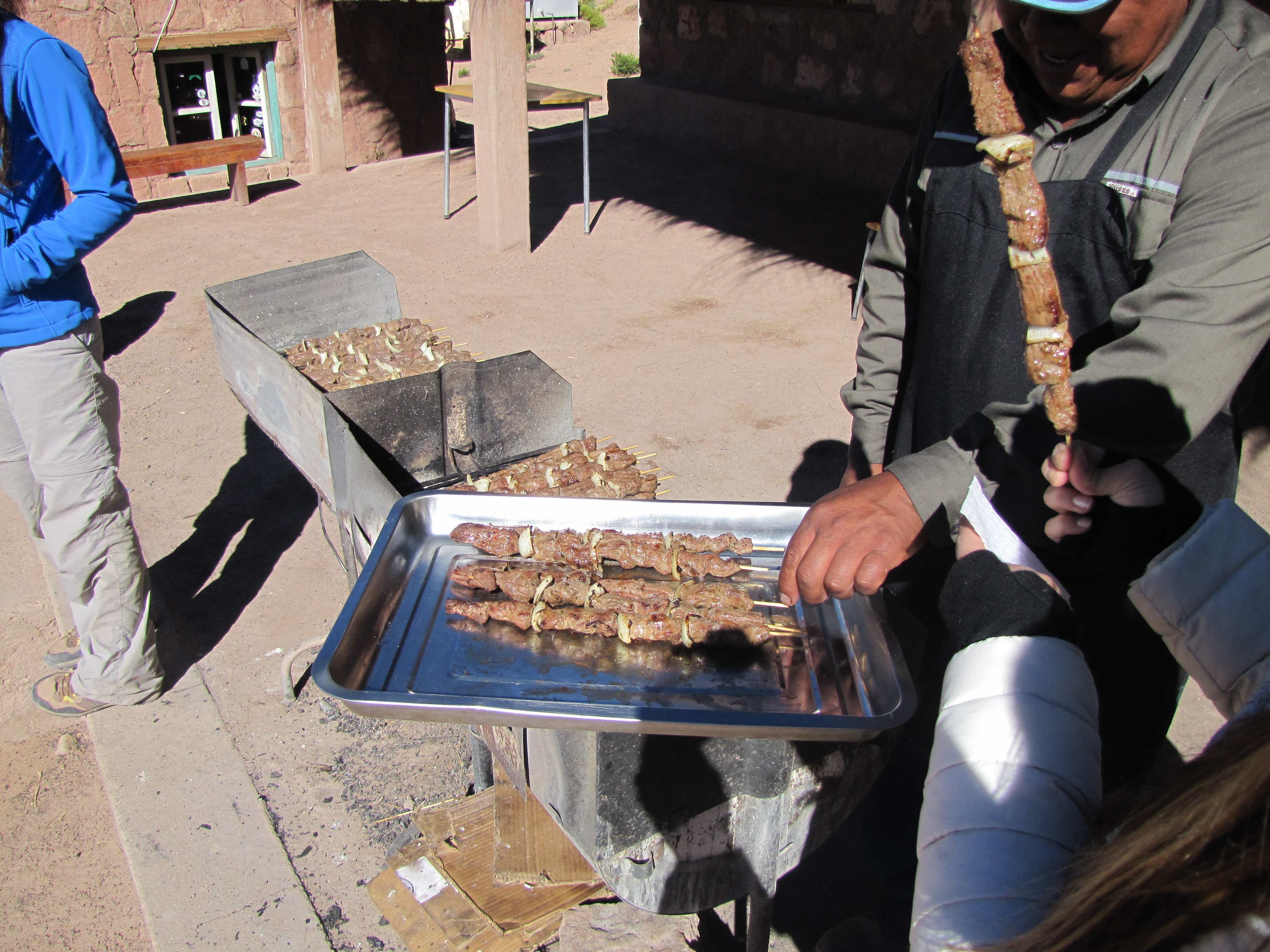
Llama skewers… Delicious!! Does this count as wildlife?